Dr Katrina Navickas, University of Hertfordshire
Protest and the Politics of Space and Place, 1789-1848: interactive
map overlays
link to 1794 Green's map of Manchester
link to 1832 new electoral boundary map of Manchester
political meetings in Manchester, 1775-1848
heat map of locations of political meetings, clustering in and around St Ann's Square, Piccadilly, St Peter's Fields, Camp Field, St George's Fields, Ancoats:
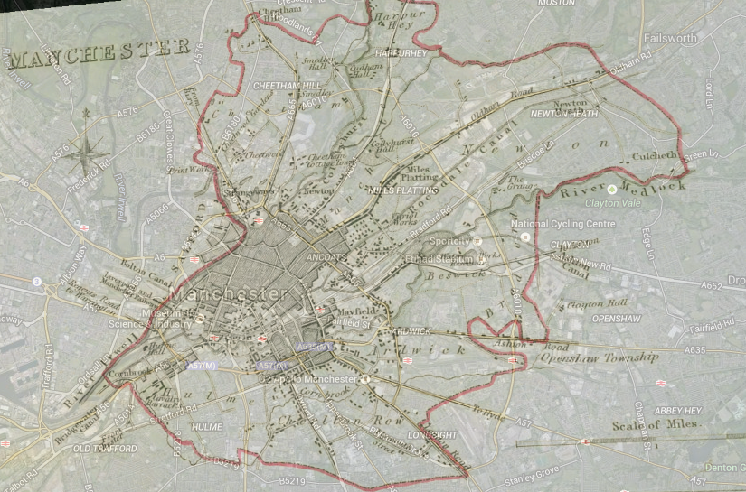
map of Peterloo victims in north Manchester, 1819
View Peterloo victims north in a full screen map
source: Peterloo casualty relief list, John Rylands Library, Manchester, as tabulated in Michael Bush, The Casualties of Peterloo

Protest and the Politics of Space and Place Extended by Katrina Navickas is licensed under a Creative Commons Attribution-NonCommercial-ShareAlike 4.0 International License.